PictOstat - The French Regional Directorate for Environment, Development and Housing of Occitanie
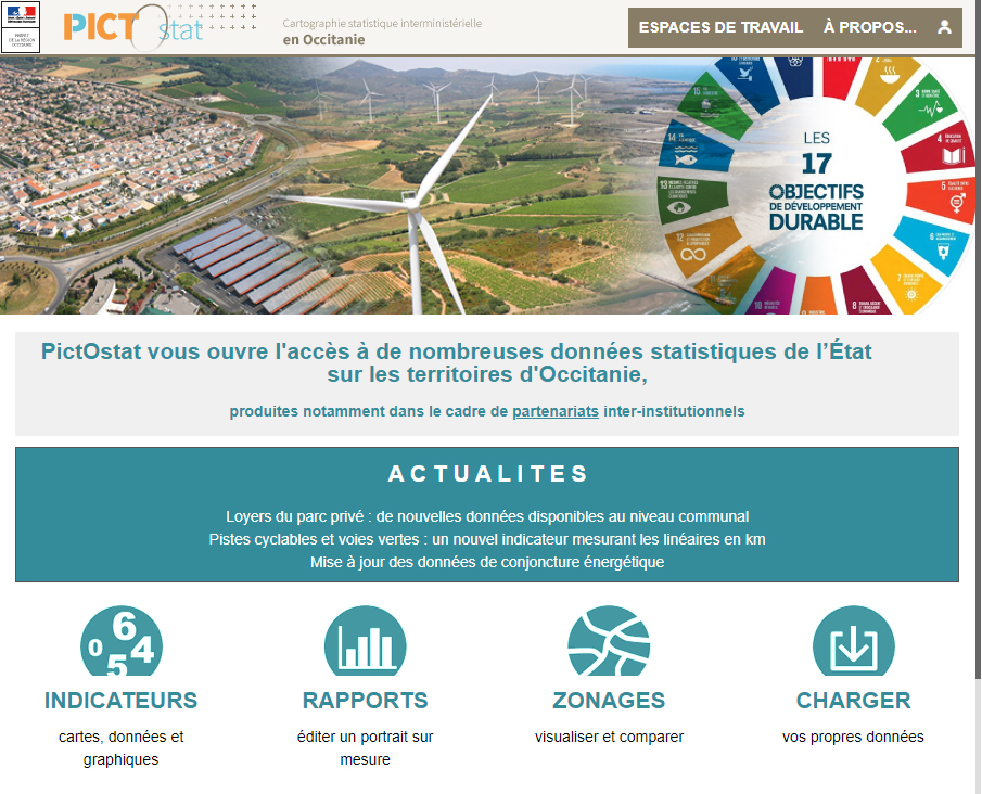
PictOstat is the statistical mapping tool, among the various tools available on the PictOccitanie website; it is dedicated to the geographical representation of statistical data. Picto means "interministerial portal of knowledge of the territory in Occitania". It is the fruit of Geo-Occitania, an interministerial approach to pooling resources on a wide range of themes for the Occitania region.
The French Regional Directorate for Environment, Development and Housing of Occitania is leading this project for all the partners. PictOstat, created with Géoclip Air, is the successor of GéoMip, originally created in 2009, with the old version of Géoclip. Following the evolution of Géoclip over time, the project has grown in scope and now offers access in the form of maps, tables, graphs or reports to statistical data on the socio-economy, housing and construction, energy, land use and occupation, the environment, agriculture, tourism and sports.