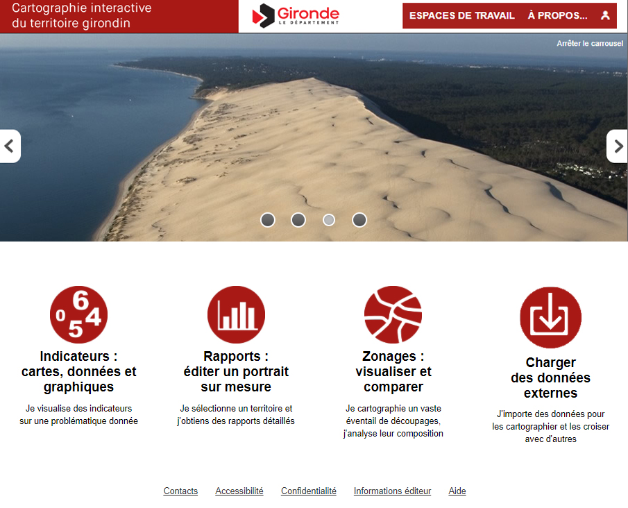
Interactive map of the Gironde territory - The French Gironde Department
To encourage shared knowledge and analysis of its territory, the French Gironde Department has deployed "GIRONDESCOPIE", its territorial knowledge portal. The Department has created its own geostatistical observatory in order to centralize and disseminate all of its data on territorial dynamics for the benefit of public actors, associations, citizens, etc.
The interactive map of the Gironde territory also presents a large number of statistical data and geolocalized indicators related to population, social protection and assistance, facilities, businesses, agriculture, housing, etc.