Government Geographic Information Services in the French Nouvelle-Aquitaine Region (SIGENA) - The Regional Directorate for Environment, Development and Housing Nouvelle-Aquitaine
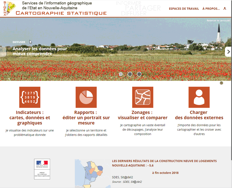
SIGENA is a platform administered by the Regional Directorate for Environment, Development and Housing of the French Nouvelle-Aquitaine Region. It is intended for regional administrations seeking information on the perimeter of the Nouvelle-Aquitaine Region. Its purpose is to improve knowledge and analysis of the territories, to offer a real process for promoting government data and to provide a strategic tool for guiding public decision-making in the Nouvelle-Aquitaine Region.
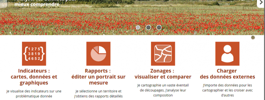
In its various sections, SIGENA provides access to several tools: raw data with their metadata, methodological tools and analyses of territories, cartographic tools. Among them, the "Statistical Maps" section offers interactive webmapping powered by Géoclip Air.

