 GéoTerritoires - The territorial information system of the French Hauts-de-France Region
The revision of the regional division leads the French regions to reorganise themselves and pool their resources. Thus, the merger between Picardy and Nord-Pas-de-Calais led to the transformation of the Picardy GIS Observatory into GéoTerritoires, the territorial information system for the Hauts-de-France. It is also an opportunity to upgrade the application of its Géoclip O3 version to Géoclip Air to give birth to a new tool, on a larger territory, with all the advantages of the new technologies used with Géoclip Air.
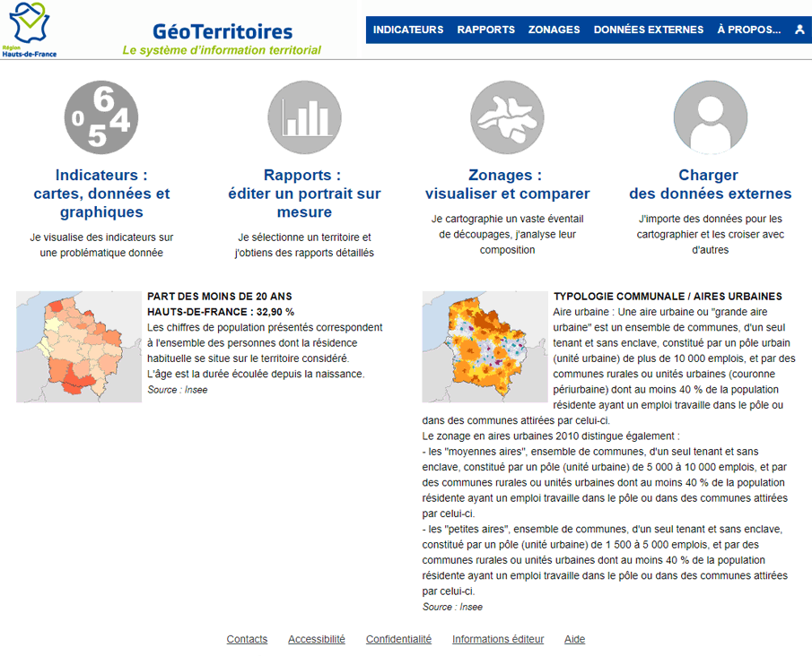
This new observatory enhances the Reports workspace. For example, one of the 3 reports proposed focuses on the observation of commercial activity, in the context of the departmental commercial development commissions.

