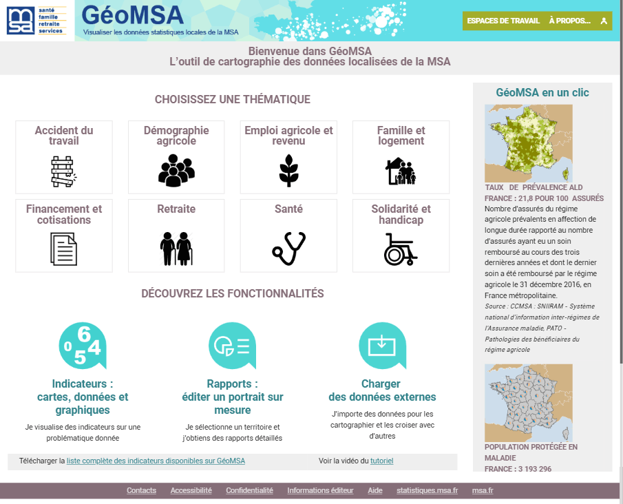
GeoMSA - Agricultural Social Security
The Agricultural Social Security manages health, family, retirement and work accidents issues for farm managers and their families. It is the social welfare system for farmers. As such, it has a considerable database that GeoMSA uses for statistical studies.
For instance, GeoMSA allows you to explore a map representing the dominant sector of activity among farm managers. This indicator, available at several geographical level, municipality, canton, department or Agricultural Social Security area, makes it possible to visualize the agricultural specialization of the territories: different types of livestock, field crops, viticulture, etc.
This example is only a very small glimpse of the richness of the published content, to whet the appetite of all those who are curious about statistical exploration, analysts, researchers, teachers, journalists or ordinary citizens.
To make it easier to use this tool, a tutorial shows, in 5/6 minutes, the main features of GeoMSA.