
 CartA'U - Agency for Urban Planning and Development of the French Nîmes and Alès Regions
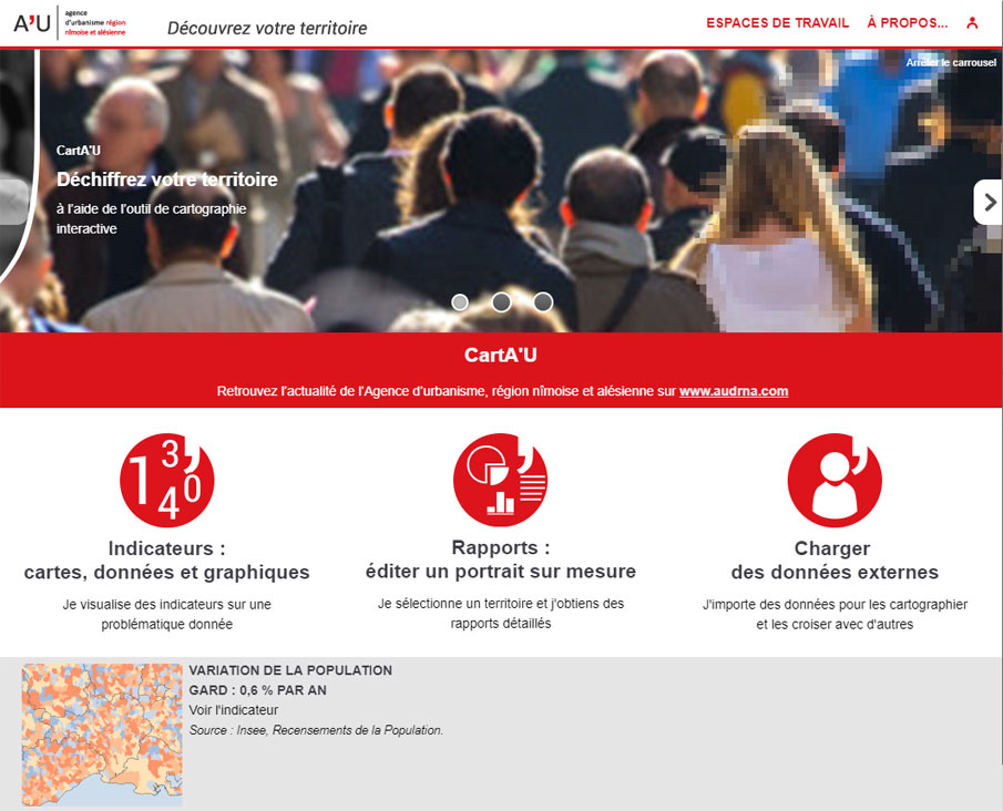
"Decipher your territory", "Data on demand", "Figures to see", from the home page, CartA'U clearly states the objective! A lot of data, well structured in the thematic tree structure of the Indicators workspace, accessible over different geographical areas: from the conurbations of Alès and Nîmes to the Occitanie Region, via the SCoT and the Gard Department.
On the Reports side, many graphs, to compare between them any territories, on the themes of population, households, housing, economy. This is undoubtedly a fine tool, in the hands of the territory's development stakeholders, to help them inform their discussions and argue their decisions.

