 Statistical Atlas of Neuchâtel canton (Switzerland)
In the administration of the Neuchâtel canton, in Switzerland, the Service de la Géomatique et du Registre Foncier manages the Information System of Neuchâtel Territory. It includes a cantonal Geoportal, which the Statistical Atlas of Neuchâtel canton takes place in.
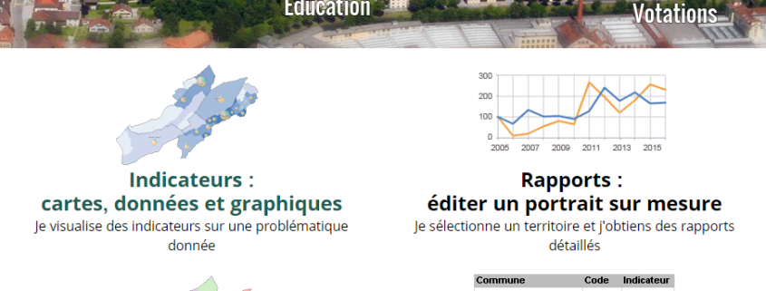
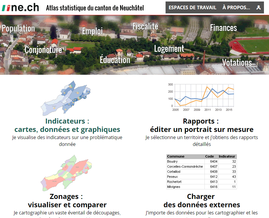
This atlas is "an easy-to-use application for analyzing statistical data based on interactive tools. Several hundred thematic maps can be created and combined on many fields. The atlas also makes it possible to analyze the temporal evolution of indicators." The statistical cartography page also provides access to a list of suggested indicators.
This atlas is a very good example of the implementation of Géoclip Air. Some original examples: maps of land use per hectare, based on a hectometric grid, reports built according to the rule book, or the one devoted to the theme Construction, housing and vacant surfaces, the possibility of displaying in the background a geographical layer of the cantonal Geoportal.
