Mapping views on our territories - The French South Region
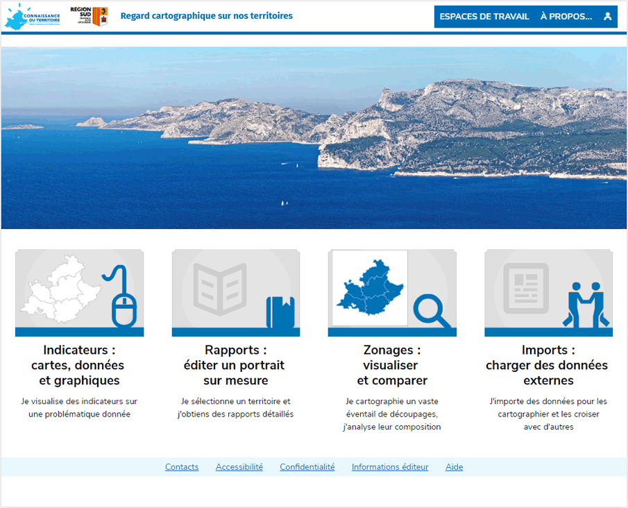
The French South Region (Provence-Alpes-Côte-d'Azur Regional Council) is publishing its new territorial observatory with Géoclip Air. The strength of this tool is that it makes different types of data accessible within the same application.
On the statistical side, there are both public and in-house data. On the one hand, databases of the French National Institute of Statistics (Insee) on population census results have been widely used. On the other hand, there are data that are within the areas of competence of the Regional Council, such as transport or education.
On the geographical side, in addition to the "classic" levels: iris, municipalities, employment areas, etc.: the tool also uses more original cartographic layers. For example, there is a geographical level of the "Sraddet" areas (regional plan for spatial planning, sustainable development and equality).

